


Mapping a Forest Plot
Grade Levels
6th-8th
Subjects
Living Environment
Keywords
Forest Locations
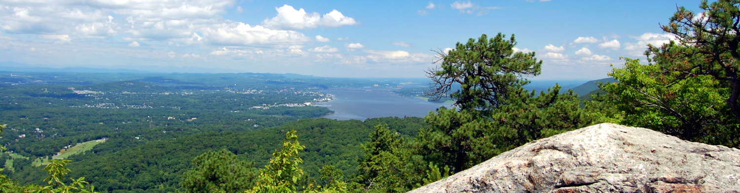
This lesson can be done in nearly any part of the forest. It is recommended that you scout out the area prior to doing the activity. Avoid areas with a lot of shrubs and vines. Look for areas with trees that are not too widely spread out, but not too tightly packed either.
(Check with Jack Caldwell for suggested sites.)
Materials
data recording sheet (per student)
clipboard per student
metric tape measure (per group)
one wooden stake
40 flags (per group)
compass
Biltmore stick
DBH tape
Dichotomous key (see BRF website Link)
Schedule
Setting: small group (~10 students)
Time for entire lesson: About 2 hours (plus time to hike to location)
Pre-Forest Activity
- Teach Grade 5 Math Module 6, Topic A (Coordinate Plane)
- Compass skills activity on school playground to allow students time to become familiar with using compasses to create straight line
- Use DBH tape and Biltmore stick on school property to become familiar with finding accurate measurements
- Introduce dendrology vocabulary using visual aids
Forest Activity
- Hike to location.
- Introduce activity. (about 10 minutes)
- Create 10 meter by 10 meter Place stake as origin (0,0) for square. Use compass to set and check 90° corners. (about 25 minutes)
- Using tape measure, set a flag every 1 meter on each side of the plot. (Flags can be numbered to aid students in identifying location.) (about 20 minutes)
- Measure tree diameter and record trees with a DBH (diameter at breast height) of 10cm or greater. (about 20 minutes, depending on number of trees)
- Using coordinate pairs, record location of each tree (DBH > 10cm) labeling each tree with a letter of the alphabet. (about 20 minutes, depending on number of trees)
- Identify tree species using dichotomous key. (as time permits) Black Rock Forest Tree Identification Dichotomous Key
- Using Biltmore Stick, determine board feet for each tree. (as time permits)
Post-Forest Activity
*Students use data from forest to create a map of the forest plot using coordinate pairs.
*Students can determine market of each tree based on size and species.
Students create a presentation of the tree species in their plot.
Students research a living thing discovered on their plot to share with classmates.
Students can compare numbers of trees, location of trees, size of trees, and species of trees for each plot.
Assessments
Check student maps for accuracy using teacher created map.
Check student identification against teacher key.
Learning Standards
NGSS – LS4.D.3-5.1 Populations live in a variety of habitats, and change in those habitats affects the organisms living there.
5.G.1 Use a pair of perpendicular number lines, called axes, to define a coordinate system, with the intersection of the lines (the origin) arranged to coincide with the 0 on each line and a given point in the plane located by using an ordered pair of numbers, called its coordinates. Understand that the first number indicates how far to travel from the origin in the direction of one axis, and the second number indicates how far to travel in the direction of the second axis, with the convention that the names of the two axes and the coordinates correspond
Curriculum
This forest activity links use of the coordinate plane with a real world application in mapping the forest floor to identify location of trees. The lesson then extends to identifying tree species and measuring tree size.
Objectives
Students will construct a coordinate plane of the forest floor and plot location of trees.NYS Grade 5 Math Module 6, Topic A, compass skills, dendrology vocabulary
Background
NYS Grade 5 Math Module 6, Topic A, compass skills, dendrology vocabulary
Safety Concerns
Comments